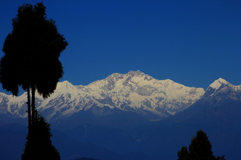
Darjeeling is the main town of the Sadar subdivision and also the headquarters of the district. It is located at an average elevation of 6,710 ft (2,050 m) in the Darjeeling Himalayan hill region on the Darjeeling-Jalapahar range that originates in the south from Ghum. The range is Y-shaped with the base resting at Katapahar and Jalapahar and two arms diverging north of the Observatory Hill. The north-eastern arm dips suddenly and ends in the Lebong spur, while the north-western arm passes through North Point and ends in the valley near Tukver Tea Estate. The hills are nestled within higher peaks and the snow-clad Himalayan ranges tower over the town in the distance. Kanchenjunga, the world’s third-highest peak, 8,598 m (28,209 ft) high, is the most prominent mountain visible. In days clear of clouds, Nepal’s Mount Everest, 29,029 ft (8,848 m) high, can be seen. [ Source: wikipedia ]